 |
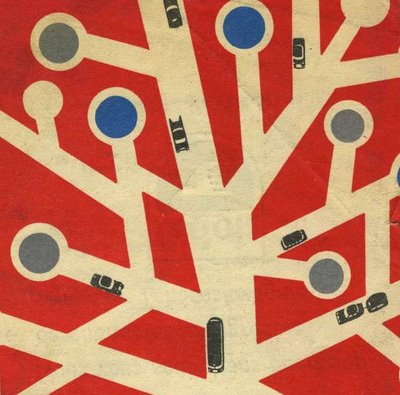
| A still from the Exploratorium's site: cabspotting. GPS tracked taxicabs in san francisco. |
Tuesday, September 21, 2010
Monday, September 20, 2010
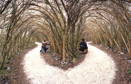 |
| Taken from Alessandro Rocca's book, Natural Architecture - a beautiful book highlighting over 66 site-specific installations that use nature to create architectural structures. |
Tuesday, September 7, 2010

reclaimed tree hut... incomplete...
Robert and I came across partially constructed - or deconstructed - structures in the presidio. With hundreds of branches around us, we couldn't help but partake in the frame work. Turned out to be
a long, 3 hour, sweaty, muscle-building,
minor attempt at our first "earthwork".


a long, 3 hour, sweaty, muscle-building,
minor attempt at our first "earthwork".


Monday, September 6, 2010
Sunday, September 5, 2010
what lies beneath
 |
| Add caption |
1890's map of San Francisco. Original creeks represented by blue, marshes by green, and the masses of pink running along the coast of the right half of the city illustrate modern day land fill. Because of rapid development, urbanization, and an accelerated growth of population, many of the natural watersheds have been covered and built over - severely altering San Francisco's ecosystems. Islais creek was once the largest body of water, covering approximately 3.5 miles from Glen Park to the bay, reaching from Point Portrero to Hunter's Point.
Subscribe to:
Comments (Atom)